Ver categorias
Explorar
Fiverr Pro
Português
$
USD

Habilidades
Conheça meus serviços

WITEK
GEODIS
Feb 2026 - Present • 7 mos
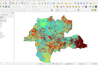
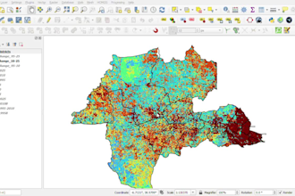
This project was completed as part of a geospatial analytics challenge focused on addressing a societal spatial problem through GIS and remote sensing techniques. The main goal was to analyze spatial patterns and transform raw geospatial data into meaningful insights that could support decision-making and planning. The client’s objective was to better understand the distribution and impact of a selected societal issue using accurate spatial analysis and clear map outputs. During the project, several challenges were encountered, including inconsistent and incomplete datasets, difficulties in integrating multiple spatial data sources, and processing large geospatial datasets efficiently while maintaining accuracy. To overcome these challenges, I applied structured GIS workflows using ArcGIS and QGIS, including data cleaning, preprocessing, and integration techniques, as well as remote sensing classification methods to improve data quality and reliability. The workflow was optimized to handle complex datasets, and results were validated through spatial cross-checking techniques. The final output included high-quality thematic maps and spatial analysis results that provide clear insights into the studied problem, demonstrating how GIS can be effectively used to support real-world societal and environmental decision-making.
