Algumas informações são exibidas no idioma inglês.
Sobre mim
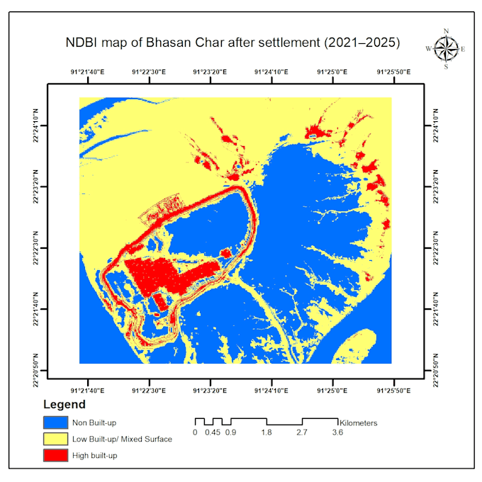
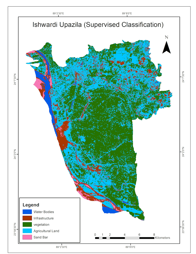
I am a GIS and Remote Sensing analyst with hands-on experience at IWM (Institute of Water Modelling), Bangladesh. I specialize in satellite image processing using Google Earth Engine (GEE), NDVI analysis, land cover classification, change detection, flood mapping and professional map production in ArcGIS/ArcMap. I deliver accurate, professional and publication-ready results on time.... Saiba mais