Algumas informações são exibidas no idioma inglês.
Sobre mim
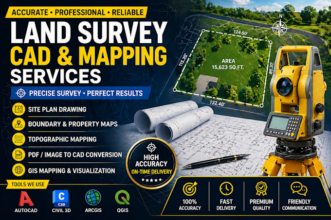
Hi, I’m Wilson, a dedicated land survey drafting specialist with experience in creating accurate and detailed site plans, property maps, and CAD drawings.
I specialize in transforming field data, sketches, and survey information into professional digital drawings using tools like AutoCAD, Civil 3D, and ArcGIS.
My services include site plan drafting, boundary map conversion, topographic mapping, and GIS visualization. I focus on precision, clear communication, and fast delivery to ensure every project meets client expectations. Whether you need a simple redraw or a detailed mapping project.... Saiba mais