Ver categorias
Explorar
Fiverr Pro
Português
$
USD

Level 1
Tradução automática
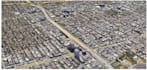
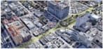
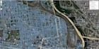
Criando animações 3D usando um DEM e uma ortoimagem via ArcGIS Pro, além de mapas interativos nas APIs OpenLayers e Leaflet.
Os entregáveis são de alta qualidade, com uma renderização profissional.
Level 1
Idiomas
Tradução automática


