Algumas informações são exibidas no idioma inglês.
Sobre mim
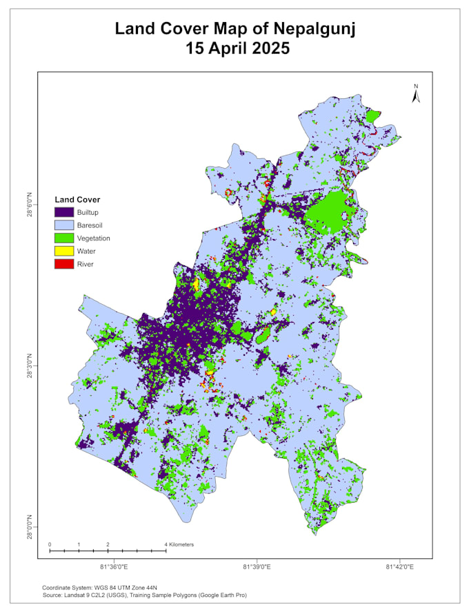
I can transform spatial and satellite data into actionable insights and precise maps using advanced geospatial techniques combined with python to support planning, development, and environmental monitoring. My work helps visualize land changes, assess urban growth, and produce accurate spatial models for data driven decision making.
What I can Offer:
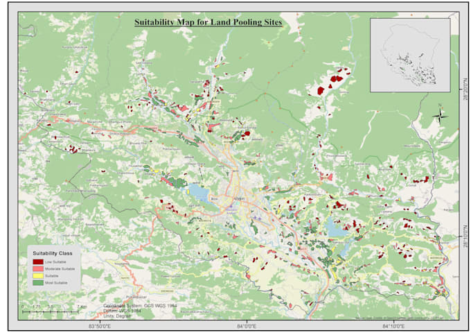
1. Thematic Maps
2. Cadastral and property boundary mapping
3. Satellite imagery processing and interpretation
4. 3D models, Orthophotos, and Point clouds
5. Customized GIS database and interactive maps... Saiba mais