Ver categorias
Português
$
USD
Conecte-se à sua IA

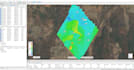
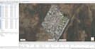
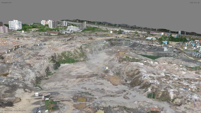
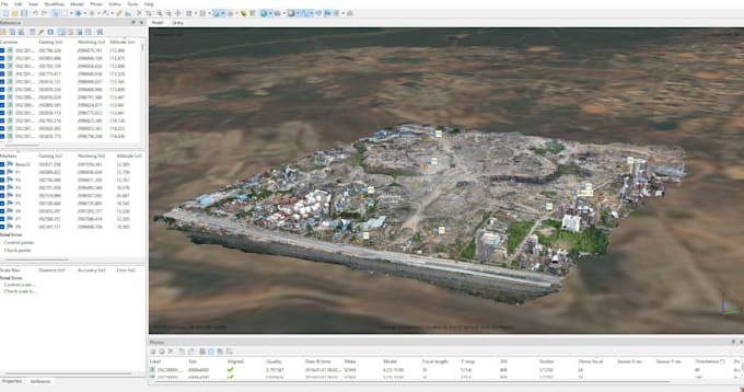
Struggling to transform raw aerial imagery into high-accuracy 3D reconstructions and survey grade site data? Let me handle the heavy lifting for you.
Simply send over your raw drone photos, PPK/RTK telemetry, or Ground Control Points (GCPs). I will execute a precise photogrammetry workflow using tools like Agisoft Metashape or Pix4D to generate clean, high-resolution spatial deliverables.
Deliverables & Capabilities:
Standard Deliverables Include:
Have custom coordinate systems, unique file export needs, or complex site requirements? Please send me a message before placing an order so we can tailor the processing workflow directly to your project goals.
Informe o freelancer sobre suas preferências ou preocupações em relação ao uso de ferramentas de IA na conclusão e/ou entrega de seu pedido.
I am a Civil Engineer specializing in UAV photogrammetry and spatial mapping
Idiomas
What image formats and telemetry data do I need to provide?
I accept standard JPG, TIFF, or DNG drone images. For accurate geotagging and high precision, please include the flight log, EXIF metadata, camera calibration parameters, or GCP/PPK text files if available.
What file formats will I receive for my 3D models and maps?
I provide deliverables in industry-standard formats including .TIFF / .GeoTIFF for orthomosaics/DEMs, .OBJ, .PLY, or .LAS/.LAZ for 3D meshes and point clouds, and .DXF/.DWG or .SHP for CAD.
Do I need Ground Control Points (GCPs) or PPK/RTK data for processing?
GCPs or PPK data are recommended if you require survey-grade absolute positional accuracy (e.g., for construction cut/fill or legal surveys). However, if you only need relative measurements or visual 3D models, standard geotagged drone photos will work perfectly.
How do I send large datasets with hundreds of high-resolution drone photos?
You can share your photos via Google Drive, Dropbox, WeTransfer, or OneDrive link after placing the order. Please ensure all files are uploaded to a single folder.