Ver categorias
Explorar
Fiverr Pro
Português
$
USD

Habilidades
Conheça meus serviços

Scientist
National Building Research Organisation, Sri Lanka • Período integral
Mar 2024 - Present • 2 yrs 6 mos
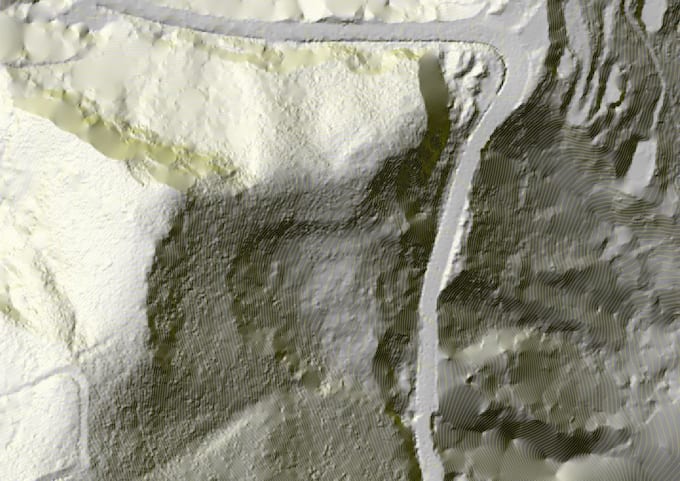
Advanced Remote Sensing & LiDAR Processing: Conducted large-scale LiDAR surveying and processing across ten districts in Sri Lanka for landslide mitigation, utilizing industry-standard tools like TerraSolid and DJI Terra. High-Resolution Geomorphic Mapping: Performed drone-based photogrammetry and thermal surveys for landslide incidents in Ella and Hali Ela, providing high-resolution data critical for analyzing slope instability and landscape change AI & Machine Learning in Geomorphology: Developed R&D applications using Convolutional Neural Networks (CNN) to analyze landslide topography, aligning with the project's focus on mechanistic frameworks for assessing landscape sensitivity Spatial Data Analysis (GeoAI Lab): Executed complex spatial data processing and analysis under the National Building Research Organisation (NBRO), specializing in GIS-based disaster management and resilience construction. Technical Documentation & Standards: Authored technical Terms of Reference (TOR) for LiDAR technology and produced standardized drone-based output documents for professional geohazard assessment. Academic Leadership & Training: Facilitated UAV mapping and data acquisition training for research students at the University of Moratuwa, demonstrating a strong command of modern geospatial workflows. Community Resilience & Risk Communication: Developed Virtual Reality (VR) and E-learning platforms for landslide-affected communities to bridge the gap between technical geomorphic research and public safety capacity building. Technical Documentations: Prepared technical documents including Terms of Reference (TOR) for LiDAR technology and contributed to the GeoAi Lab by preparing Drone Based Output documents.
| (3) | ||
| (0) | ||
| (0) | ||
| (0) | ||
| (0) |
clientteach

Paquistão
Thanks for your hard working , will use your service soon
Resposta do freelancer

ibwand

Alemanha
Great collaboration! You get exactly what you need, simply and efficiently.
Resposta do freelancer
ibwand
Alemanha
Good work, quick responses, a solid understanding of the issues, and the collaboration is enjoyable.