Algumas informações são exibidas no idioma inglês.
Sobre mim
Hello! I am a GIS and Remote Sensing Analyst with experience in ArcGIS and QGIS. I specialize in GIS mapping, spatial analysis, remote sensing and geospatial data processing.
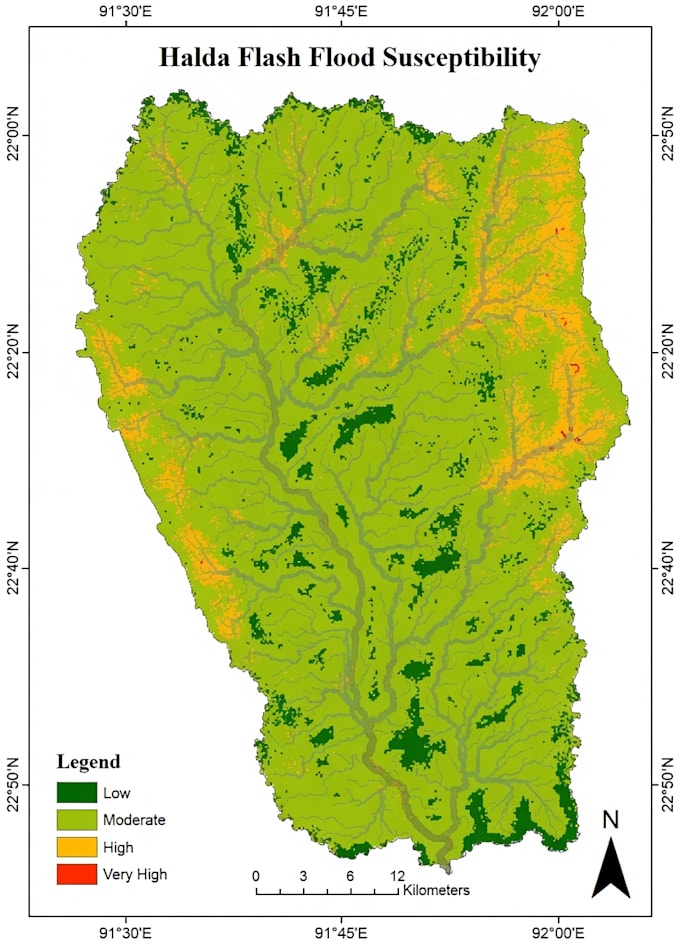
I can help with professional map creation, digitization, watershed analysis, DEM analysis, terrain mapping, and environmental GIS projects. I have experience working with geospatial data for research and environmental applications.
I focus on delivering accurate, well-designed and high-quality GIS outputs according to client requirements.
Software Skills:
ArcGIS | QGIS | Google Earth Pro | Remote Sensing Tools... Saiba mais