Algumas informações são exibidas no idioma inglês.
Sobre mim
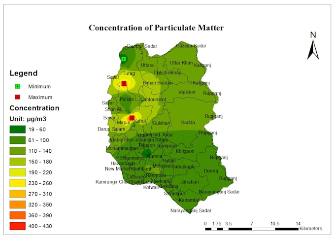
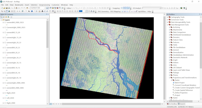
Hello. This is Rafia. I have completed my BSc in Civil Engineering. I have worked in several research work and projects using ArcGIS as a GIS analyst. I offer the following Services of GIS mappings including Spatial Analysis, Raster Analysis, Remote sensing Analysis, Satellite Image processing, Interpolated Maps, Google Earth Engine, and Topographic Maps. If you're seeking a dedicated and detail-oriented person, I would be thrilled to collaborate with you. I am committed to finishing your project quickly and flawlessly. Feel free to contact me to discuss your project requirements. Thank you.... Saiba mais