Ver categorias
Explorar
Fiverr Pro
Português
$
USD


Tradução automática
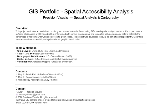
Eu crio mapas GIS profissionais, análise espacial e cartografia personalizada usando QGIS para pesquisa, planejamento e projetos ambientais. Com formação em engenharia e experiência prática em visualização técnica, entrego mapas que combinam precisão analítica com clareza.
Meus serviços incluem:
Pacotes:
Se você precisa de um mapa de pesquisa, análise ambiental, visualização de planejamento urbano, mapa turístico ou cartografia pronta para apresentação, ofereço uma solução profissional de GIS adaptada às suas necessidades. Meu objetivo é entregar trabalhos de mapeamento precisos, claros e prontos para apresentação.
Technical CAD and GIS Drafter: Mechanical Parts, Floor Plans, Spatial Mapping
Idiomas
Tradução automática
Tradução automática
O que você precisa de mim para iniciar o projeto?
Por favor, forneça quaisquer dados disponíveis, shapefiles, coordenadas, capturas de tela, esboços, mapas de referência ou requisitos do projeto. Uma breve explicação do objetivo do mapa e do estilo preferido também ajuda.
Quais formatos de arquivo receberei?
Os arquivos finais podem ser entregues em formatos PDF, PNG e projeto QGIS, dependendo dos requisitos do projeto.
Você pode usar meus dados ou shapefiles?
Sim. Você pode fornecer shapefiles, dados CSV, coordenadas, capturas de tela ou mapas de referência para o projeto.
Você cria mapas prontos para apresentação?
Sim. Eu desenho layouts limpos e visualmente organizados, adequados para relatórios, apresentações, pesquisas e projetos de planejamento.
Você pode realizar análise espacial no QGIS?
Sim. Posso fazer análise de buffer, sobreposições, mapas temáticos, visualização demográfica e outras tarefas básicas de análise espacial no QGIS.
Você pode criar mapas turísticos ou de localização personalizados?
Sim. Posso criar mapas turísticos personalizados, mapas de cidades, mapas de viagem e layouts cartográficos com estilo visual.
Você fornece revisões?
Sim. Revisões estão incluídas para garantir que o mapa final atenda às suas necessidades e objetivos do projeto.