Algumas informações são exibidas no idioma inglês.
Sobre mim
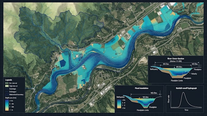
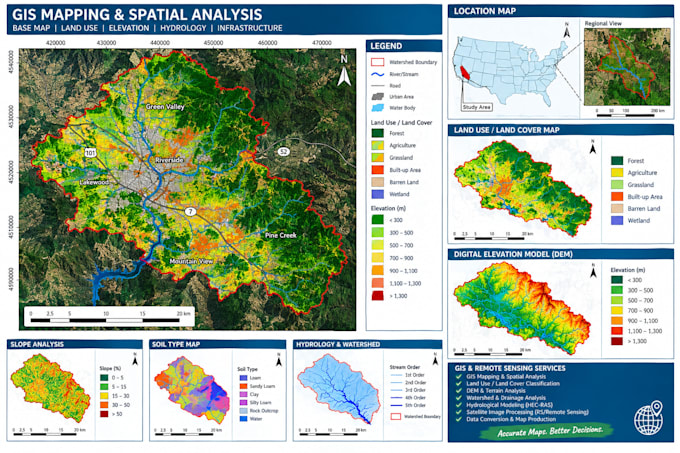
I provide professional GIS, Remote Sensing (RS), and hydraulic engineering services for mapping, spatial analysis, and water-related projects. My expertise includes GIS mapping, geospatial data processing, land-use analysis, terrain and watershed analysis, HEC-RAS hydraulic modeling, floodplain studies, river and channel analysis, and drainage assessment. I deliver accurate, organized, and project-focused results with clear communication and attention to detail.... Saiba mais