Algumas informações são exibidas no idioma inglês.
Sobre mim
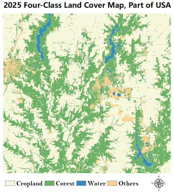
Remote sensing expert with 10+ years in land cover classification and applied research. I develop fully automated algorithms for Sentinel-2 imagery, validated globally across Europe, Asia, and North America. My services deliver high-quality GIS-ready maps for cropland, forest, grassland, water, urban, and barren land – quickly and accurately. No training samples needed. Let me handle the complex classification so you can focus on decisions.... Saiba mais