Vou converter imagens aéreas em mapas autocad map 3d dwg
O
O
Oishi
Algumas informações foram traduzidas automaticamente.
Tela Inteira
Tela Inteira
Sobre este Serviço
Tradução automática
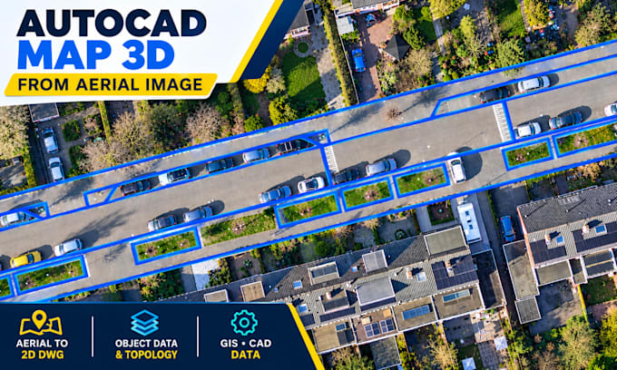
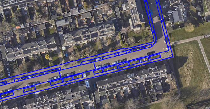
Vou converter imagens aéreas e de satélite em desenhos limpos do AutoCAD Map 3D DWG, incluindo mapeamento de estradas, pegadas de prédios, lotes, georreferenciamento e preparação de dados GIS.
Ferramenta
qgis
Conheça mais sobre Oishi
Oishi
Specialized GIS and CAD
A partir deBangladesh
Membro desdeout. de 2026
Responde em aprox.:1 hora
Idiomas
Inglês
Hello! I’m a GIS & CAD Mapping Specialist with 5+ years of experience in aerial imagery mapping, geospatial data processing, and QA/QC.
I specialize in AutoCAD Map 3D and QGIS, offering building footprint digitization, road and parking mapping, parcel and boundary mapping, DWG georeferencing, Object Data Tables, topology setup, GIS data conversion, and spatial data validation.
I focus on accuracy, clean data organization, and professional deliverables in DWG, DXF, SHP, KML/KMZ, and GeoJSON formats. Message me to discuss your GIS or CAD project!