Ver categorias
Português
$
USD
Conecte-se à sua IA

GIS, Remote Sensing and Geospatial Data Analyst
Habilidades
Conheça meus serviços

GIS & Remote Sensing Analyst (ResGeo Lab Trainee)
Sher-e-Bangla Agricultural University • Meio período
Jul 2026 - Present • 4 mos
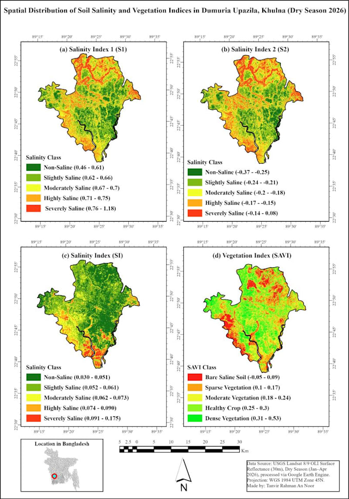
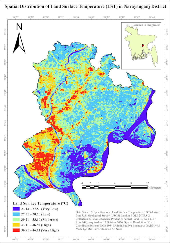
Completed a 7-month intensive Full-Stack GIS & Remote Sensing program and ongoing ArcPy spatial automation workflow, executing 23+ geospatial projects using ArcGIS Pro, QGIS, and Google Earth Engine (GEE). Conducted LULC supervised classification, multi-index soil salinity and vegetation modeling (NDVI, SAVI, S1, S2, SI), Land Surface Temperature (LST) analysis, Copernicus DEM morphometric modeling, watershed delineation, RUSLE soil loss assessment, and Sentinel-1 SAR flood inundation mapping to produce 300 DPI publication-grade layouts.

Academic Q&A Solver
UDVASH • Meio período
Sep 2024 - Mar 2025 • 6 mos
Authored 400+ step-by-step analytical and quantitative solutions across science and mathematics for academic students, ensuring high technical accuracy, structured formatting, and timely delivery.
