Algumas informações são exibidas no idioma inglês.
Sobre mim
Geography teacher and cartographer from Uruguay. I spent 10 years at Uruguay's cartographic service designing thematic and technical maps, processing spatial data and producing print and web layouts.
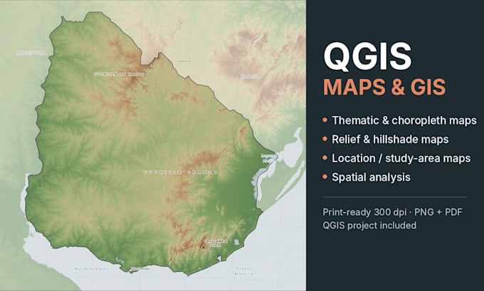
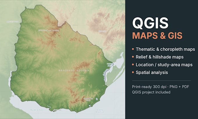
What I offer in QGIS:
✔ Custom thematic, location and study area maps
✔ Georeferencing and digitizing of historical maps
✔ Vector data cleaning and editing
✔ Spatial analysis and data visualization
I work in English and Spanish, by written messages only, with clear deadlines. Print-ready PNG/PDF, plus the QGIS project on request.... Saiba mais