Ver categorias
Explorar
Fiverr Pro
Português
$
USD
PhD Researcher offering Professional GIS and Remote Sensing Services
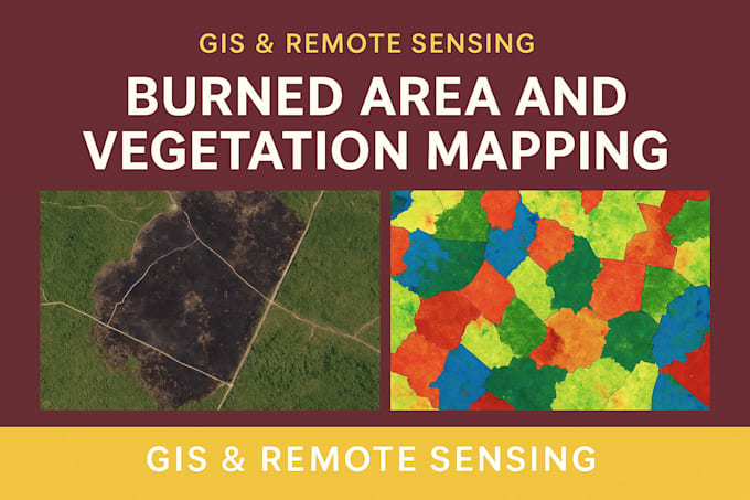
I am a PhD researcher in Environmental Sciences (USA), specializing in GIS and Remote Sensing for environmental, agricultural, and spatial data analysis. With expertise in ArcGIS Pro, QGIS, Google Earth Engine, and Python (ArcPy, GDAL), I transform satellite and geospatial data into meaningful insights and professional-quality maps.
Services I offer:
I combine scientific accuracy with clear visualization to deliver geospatial products that support research, planning, and decision-making.
Let's bring your spatial data to life. Please message me to discuss your project today!


What data do you need from me?
Please share the area of interest (shapefile or coordinates), the satellite type or date range, and the analysis type you need (e.g., NDVI, burned area, etc.).
Which satellite data do you use?
I mainly use Landsat and Sentinel imagery from USGS and Copernicus, processed through ArcGIS, QGIS, or Google Earth Engine.
Can you provide the final results as shapefiles or GeoTIFFs?
Yes, I can deliver maps, shapefiles, GeoTIFFs, and detailed reports depending on your package.
| (1) | ||
| (0) | ||
| (0) | ||
| (0) | ||
| (0) |
brysen_jacobsen

Estados Unidos
He was amazing to work with, asked good detailed questions to make sure he got exactly what I wanted the first time and delivered faster than expected. I would definitely work with him again in the future for any arcgis related work.
US$ 100-US$ 200
$
3 dias
Tempo
| (1) | ||
| (0) | ||
| (0) | ||
| (0) | ||
| (0) |
brysen_jacobsen
Estados Unidos
He was amazing to work with, asked good detailed questions to make sure he got exactly what I wanted the first time and delivered faster than expected. I would definitely work with him again in the future for any arcgis related work.
US$ 100-US$ 200
$
3 dias
Tempo