Land Survey And CAD Drafting, Civil 3D, GIS Mapping and Point Cloud
Estados Unidos
Inglês
Algumas informações são exibidas no idioma inglês.
Sobre mim
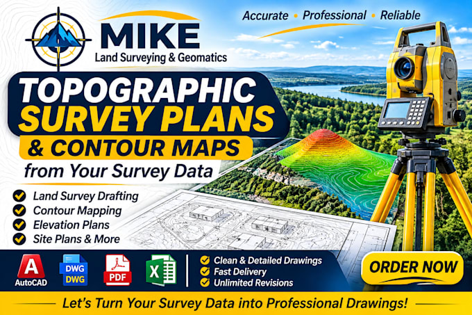
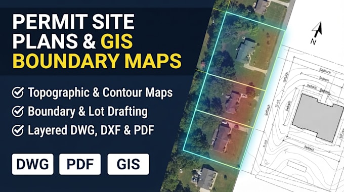
I am a Land Surveying and Geospatial Specialist providing professional solutions in CAD drafting, topographic mapping, GIS analysis, contour mapping, construction layout drawings, as-built plans, survey data processing, 3D terrain modeling, point cloud processing, drone photogrammetry, and earthwork volume calculations. I focus on accuracy, technical quality, attention to detail, and timely delivery. Whether you need survey drawings, mapping, terrain analysis, or geospatial data processing, I am ready to help turn your data into reliable, professional results.... Saiba mais