Ver categorias
Explorar
Fiverr Pro
Português
$
USD

GIS and Remote Sensing Analyst
Habilidades
Conheça meus serviços

GIS and Remote Sensing analyst
Urban • Período integral
Jul 2023 - Present • 3 yrs
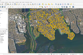
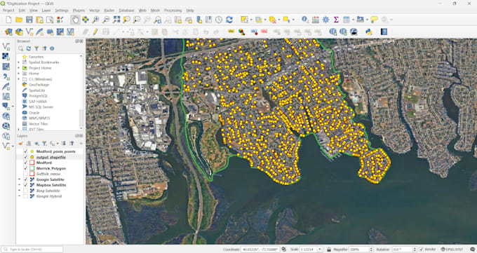
1. Developed and maintained GIS tools, custom QGIS plugins, and geospatial workflows to support spatial analysis and remote sensing projects. 2. Processed, analyzed, and visualized satellite imagery and spatial datasets using ArcMap, QGIS, and Google Earth Engine. 3. Performed advanced spatial analysis, geospatial modelling, image classification, and machine-learning-based Earth observation analysis. 4. Automated GIS tasks to improve data processing efficiency, mapping accuracy, and overall workflow performance. 5. Managed spatial data quality by validating projections, topology, geometry accuracy, and attribute consistency. 6. Prepared maps, spatial layers, reports, and technical documentation for project delivery and decision-making. 7. Supported GIS data integration with databases, dashboards, and web-based geospatial applications.
| (1) | ||
| (0) | ||
| (0) | ||
| (0) | ||
| (0) |

ahmad_4849

Paquistão
Done a FANTASTIC job on urgent basis..well done...100 percent recommended