Ver categorias
Explorar
Fiverr Pro
Português
$
USD

Habilidades
Conheça meus serviços

Scientific Assistant
Sathyabama Institute of Science & Technology • Período integral
Jul 2023 - Jul 2024 • 1 yr
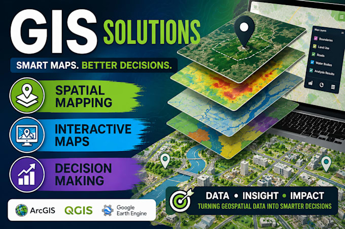
Scientific Assistant | Researcher | Workshop Facilitator 🌿 Passionate and dedicated scientific assistant with expertise in utilizing advanced instrumentation for environmental monitoring and research. Proficient in operating laser precipitation monitors, lightning detection sensors, and automatic weather stations to gather critical data for weather analysis and wetland studies. Key Skills: Instrumentation Operation: Experienced in the precise operation of laser precipitation monitors, lightning detection sensors, and automatic weather stations, ensuring accurate data collection. Wetland Research: Conducting in-depth research on wetland ecosystems, focusing on biodiversity, ecological dynamics, and conservation strategies. Workshop Facilitation: Assisting in organizing and conducting workshops to educate students on environmental monitoring techniques, using GIS. Data Analysis: Proficient in data analysis software(ArcGIS, QGIS), interpreting complex datasets, and generating comprehensive reports for research findings and workshop outcomes.
