Algumas informações são exibidas no idioma inglês.
Sobre mim
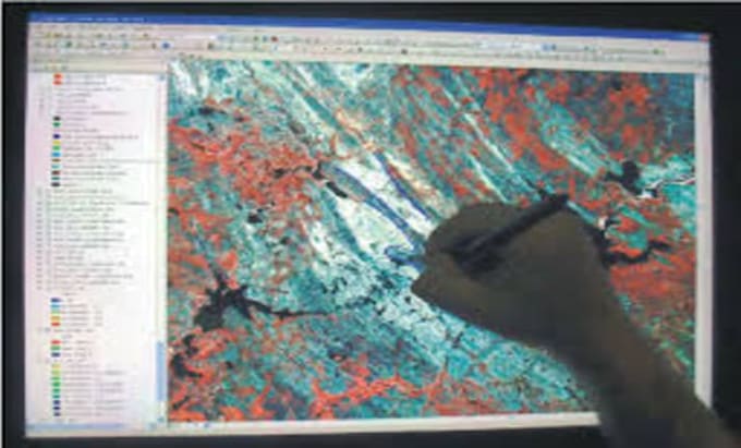
I Digitize & Georeference Your Maps.
- Need scanned maps or images turned into accurate, usable GIS data? I provide fast, precise ArcMap services:
- Georeferencing: Lock your maps to real-world coordinates.
- Digitization: Trace features (points, lines, polygons) to create clean shapefiles.
- Clean Data: Ready for analysis in ArcMap, QGIS, and other GIS software.
I deliver clear communication, sharp attention to detail, and on-time results. Let's build your spatial project.
Order now to get started!... Saiba mais