Algumas informações são exibidas no idioma inglês.
Sobre mim
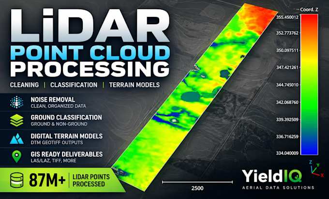
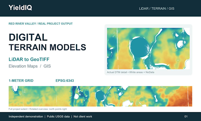
I specialize in LiDAR point cloud processing, drone mapping, and GIS data preparation. Using CloudCompare, QGIS, and DJI Terra, I work with LAS/LAZ files to merge point clouds, remove noise, separate ground and non-ground points, and create digital terrain models (DTMs). I focus on accurate file handling, clear communication, and organized deliverables. My goal is to help clients turn complex geospatial datasets into practical, usable results.... Saiba mais