Executarei análise de imagens vetoriais e raster

J
joenike
J
joenike
Ike C.a

Level 1

Algumas informações foram traduzidas automaticamente.

Sobre este Serviço

Tradução automática

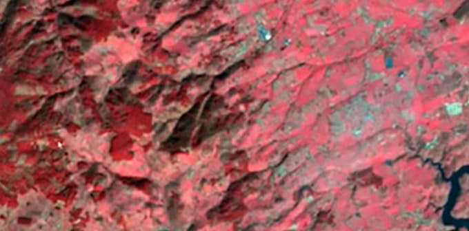
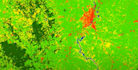
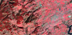
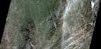
O serviço é focado na análise de imagens raster, visando obter e entregar os resultados esperados. Isso inclui análises como classificação de imagens comum, DEM, NDVI, temperatura de superfície, bacias hidrográficas e sistemas, extração de vetores, declividade, representação 3D, entre outros. Tudo depende do que o cliente deseja.

Conheça mais sobre Ike C.a

Ike C.a
5,0(23)

Level 1

  • A partir deNigéria
  • Membro desdemai. de 2020
  • Última entrega5 meses
  • Idiomas

    Inglês
Work experience: Real time field data collection and monitoring, in compliance with required quality. Static and online relational map production and designing. Creation of comprehensive database. Projects Completed: GIS enabled Assets mapping and Customer enumeration for EEDC, mapping and analysis of power lines and metro stations within the country. Area of Specialization: Basically in to GIS data analysis and interpretation. And with that have gathered strength in the use of basic tools like: ArcGIS, QGIS, Surfer, Ilwis, Safe-FME Desktop, PostgreSQL, Global mapper, and GIS Cloud.

Tradução automática

Tags relacionadas