Ver categorias
Português
$
USD
Conecte-se à sua IA
Expert in GIS, Remote Sensing, Research, and Design Solutions
Habilidades

Conheça meus serviços
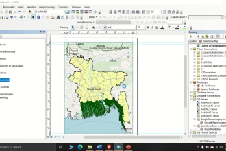
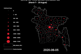

Solution Specialist
Esri Bangladesh • Período integral
Jul 2026 - Present • 4 mos
As a Solution Specialist at Esri Bangladesh, I help organizations leverage Geographic Information Systems (GIS), Remote Sensing, and spatial analytics to solve real-world challenges. My responsibilities include designing and implementing GIS solutions, developing maps and dashboards, preparing technical proposals, supporting client requirements, conducting demonstrations and presentations, and providing technical consultation on Esri technologies. I collaborate with government agencies, utilities, NGOs, and private-sector organizations to transform spatial data into actionable insights for planning and decision-making. My work involves GIS mapping, spatial analysis, data quality assurance, web GIS applications, geospatial database management, and technical documentation. Key Responsibilities: > Design and implement GIS-based solutions using Esri technologies > Develop professional maps, dashboards, and spatial analytics products > Prepare technical proposals and solution architecture documents > Conduct client presentations, demonstrations, and workshops > Support GIS data management and quality assurance activities > Collaborate with project teams to deliver geospatial solutions > Provide technical guidance and training to clients and stakeholders
| (1) | ||
| (0) | ||
| (1) | ||
| (0) | ||
| (0) |
deni_doni

Reino Unido
The work was alright but I guess the outcome wasn’t as expected because of the short deadline
imprude

Canadá
