Ver categorias
Explorar
Fiverr Pro
Português
$
USD

3D Terrain, Topographic Mapping, City Maps, Relief Models, 3D Visualization
Habilidades
Conheça meus serviços

3D Terrain Modeler | Topographic Mapping | 3D City Maps
Freelance / Digital Agency Partner • Autônomo
Sep 2026 - Present • 1 mo
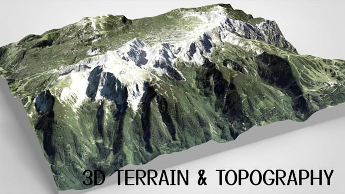
I create custom 3D terrain models, topographic maps, shaded relief maps, elevation models, and realistic landscape visualizations tailored to client requirements. My work focuses on transforming geographic references, map images, location data, and suitable elevation sources into clear, detailed 3D representations. My services include 3D city map modeling, terrain and landscape design, mountain and coastline modeling, elevation-based terrain, relief visualization, and 3D-printable topographic models. Depending on project scope, I prepare deliverables in formats such as STL and OBJ for 3D printing, visualization, presentation, and related workflows. I assess each project based on its intended use, geographic coverage, required detail, dimensions, reference quality, and output format. I also communicate scope, technical requirements, revisions, and delivery expectations clearly before work begins. Core responsibilities Create custom 3D terrain and landscape models. Develop topographic, elevation, and shaded relief visualizations. Model city terrain and selected urban features. Prepare suitable 3D assets for printing or visualization. Review references and clarify project requirements. Organize deliverables around agreed specifications and deadlines. Focus areas: 3D terrain modeling, topographic mapping, relief modeling, elevation visualization, 3D city maps, landscape modeling, and geographic visualization.
