Ver categorias
Explorar
Fiverr Pro
Português
$
USD

Tradução automática
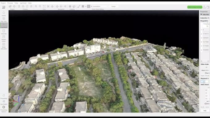
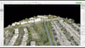
Vou processar dados escaneados de imagens para criar um modelo 3D do objeto. Utilizarei softwares como Pix4D, GIMP, Meshroom, AutoCAD, ArcSCan, ArcMap, dependendo do projeto e das necessidades, para criar um modelo 3D para você a partir dos seus dados fornecidos.
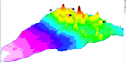
A animação do modelo junto com DEM, DSM, Mesh e contornos será fornecida a você.
O serviço é flexível e pode ser personalizado de acordo com suas necessidades.
Nota: Os detalhes do modelo 3D dependerão da aquisição das imagens.
Por exemplo, porcentagem de sobreposição nas imagens e altitude/distância da câmera (Drone/DSLR) etc.
Sinta-se à vontade para me perguntar sobre outros serviços semelhantes.
Atenciosamente!
Informe o freelancer sobre suas preferências ou preocupações em relação ao uso de ferramentas de IA na conclusão e/ou entrega de seu pedido.
Full Stack GIS Developer : Web GIS, Remote Sensing and GeoAI
Idiomas
Tradução automática