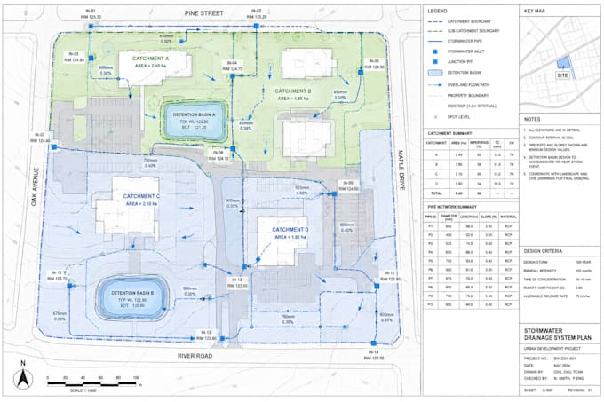
Hello, I'm Garry Miller, a GIS Mapping Specialist focused on creating accurate, professional, and visually clear geospatial maps for engineering, environmental, utility, and infrastructure projects. My expertise includes utility, sewer, drainage, stormwater, water distribution, pipeline, electrical grid, road, highway, bridge, watershed, floodplain, wetland, river basin, soil, geological, vegetation, coastal, erosion, and environmental hazard maps. I deliver reliable mapping solutions with attention to detail, quality, and timely delivery.... Saiba mais