Algumas informações são exibidas no idioma inglês.
Sobre mim
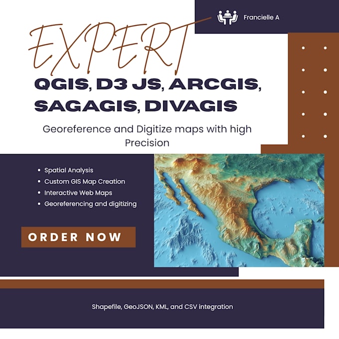
I am Francielle, Experienced GIS and Remote Sensing Analyst with 6+ years in the field. Specializing in Data Creation Raster/Vector, Data Scrapping ,urban planning, zoning analysis, telecom, and land use projects. Proficient in ArcGIS, QGIS,ENVI,Python and many more. Let's collaborate to unlock the power of spatial data for your success.... Saiba mais