Ver categorias
Explorar
Fiverr Pro
Português
$
USD

Level 2


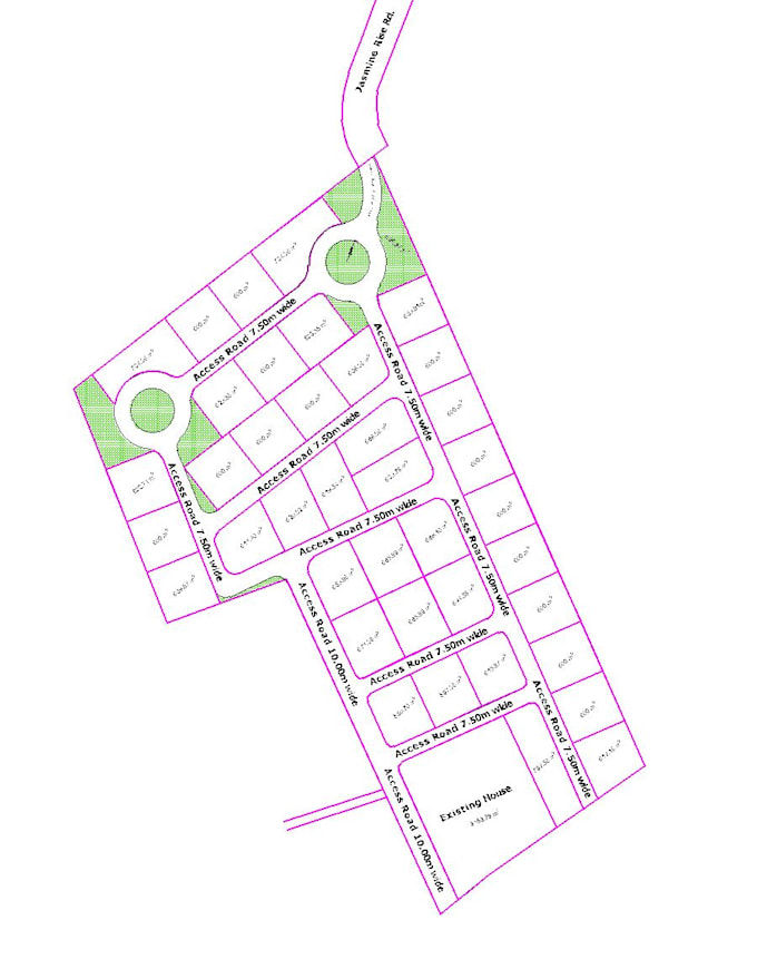
Looking for a reliable Land Surveyor, CAD Designer, or Subdivision Planner? Im here to help!
I can turn your old survey plans, PDFs, sketches, coordinates, GPS data, boundary information, CAD files, maps, or shapefiles into clear and professional land plans.
My Services Include:
Have an old drawing or property data? Send it to me, and Ill review it and help you find the right planning or drafting solution.
⭐ Accurate Professional Detail-Oriented
Note:
Please contact me before placing an order.
The price may vary depending on the project scope, land size, and requirements.
A Fiverr não seleciona freelancers nesta categoria. Favor verificar os requisitos de qualificação com o freelancer antes de realizar o pedido, incluindo as preferências em relação ao uso de ferramentas de IA.
Land Surveyor , Architecural, Landscape Designer
Level 2
Idiomas