Ver categorias
Explorar
Fiverr Pro
Português
$
USD

Eyas Kahirallah
@eyask0
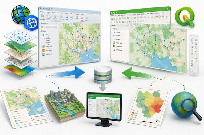
Geomatics Engineer GIS Specialist
Arábia Saudita
Inglês, Árabe
Sobre mim
I am a Geomatics Engineer specializing in GIS, spatial analysis, mapping, surveying, and digital data solutions. I have experience using ArcGIS, QGIS, AutoCAD, Civil 3D, and Revit for mapping, engineering, and BIM projects, including indoor navigation systems. I am also proficient in Microsoft Office tools such as Word, Excel, and PowerPoint for reporting, presentations, and data management, along with Google Drive and Google Docs for collaboration and document organization. I help clients deliver accurate maps, spatial analysis, digital documentation, and efficient location-based solutions.
Habilidades

Eyas Kahirallah
offline •
Tempo médio de resposta: 1 hora
Conheça meus serviços

Sistemas de Informação Geográfica
I will create gis maps using arcgis and qgis

Data Entry
I will convert coordinates and create shapefiles
Portfólio
Experiência profissional
Training at King Abdulaziz University General Department of Projects
King Abdulaziz University • Período integral
Aug 2025 - Oct 2025 • 2 mos
Completed training at the University Projects Agency, where I worked on GIS-related tasks involving university building data management. I collected and organized spatial data for campus buildings, classified facilities into categories such as male and female sections and other functional groups, and created a comprehensive database containing building information, locations, and related attributes. This experience strengthened my skills in GIS analysis, spatial data organization, mapping, and database management.