Ver categorias
Explorar
Fiverr Pro
Português
$
USD


Tradução automática
Oi KANNAR ALI
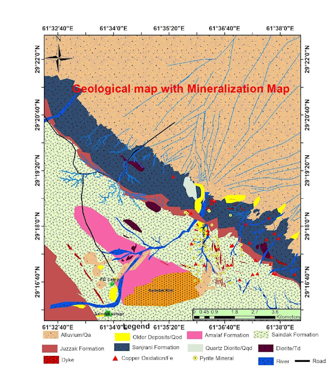
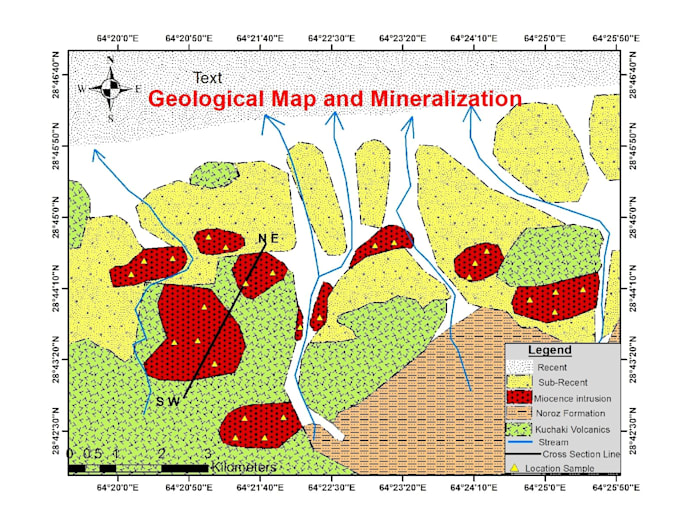
Sou um geólogo especializado em ArcGIS, capaz de digitalizar várias camadas de diferentes mapas e coletar informações relevantes sobre tipos de rochas, estruturas, fósseis, linhas de falha, zonas de alteração, zonas de mineralização, rios, estradas, riachos e curvas de nível.
Esse processo inclui o uso de tecnologia GPS, pesquisa de campo e recursos da internet. Os dados serão analisados usando softwares especializados para gerar mapas digitais. Para indicar claramente diferentes formações rochosas, o mapa usará símbolos e cores geológicas e digitalização.
Além disso, posso georreferenciar e digitalizar folhas topográficas, mapas antigos. Também posso criar geo-bases de dados, criar shapefile de qualquer formação geológica.
Estou comprometido em entregar um trabalho de alta qualidade para sua máxima satisfação.
Idiomas
Tradução automática