Geospatial Analyst Drone, DEM and 3D Terrain Modeling
Estados Unidos
Inglês
Algumas informações são exibidas no idioma inglês.
Sobre mim
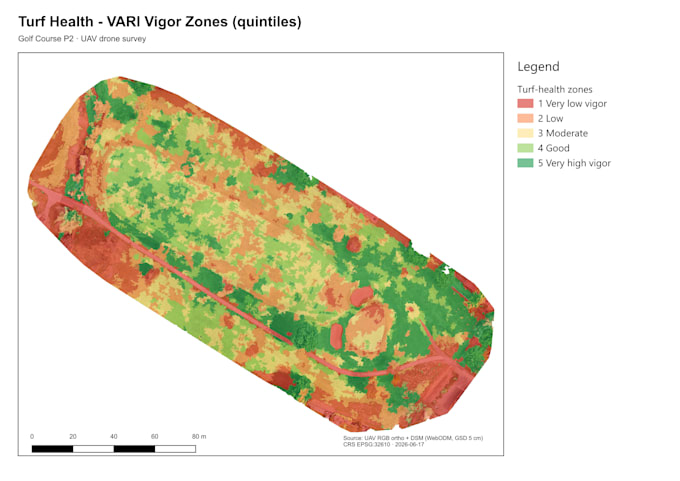
I run a fully automated geospatial analysis pipeline that turns drone data and DEM files into deliverables in 24–48 hours. Deliverables include: georeferenced slope, aspect, and hillshade maps (300dpi, print-ready), VARI/NDVI vegetation health analysis, hydrology and flood risk modeling, fire risk and defensible space assessment, 3D interactive terrain model (Sketchfab link), contour maps, cut/fill analysis, and a full QGIS project file. FAA Part 107 certified. NASA ARSET trained. Accepts GeoTIFF, HGT, LAS/LAZ, drone imagery, DEM, DSM, DTM. Turnaround: 24–48 hours. Rush available.... Saiba mais