GIS and Remote Sensing Analyst, Mineral Exploration and Mapping
Arábia Saudita
Árabe, Inglês
Algumas informações são exibidas no idioma inglês.
Sobre mim
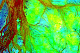
I turn satellite imagery and spatial data into clear maps and practical exploration priorities. Independent GIS and remote sensing analyst since 2022, using ArcGIS, QGIS and ENVI. Services include Sentinel-2/ASTER analysis, band ratios, PCA/MNF, terrain and structural interpretation, and mineral exploration screening. Deliverables can include maps, spatial layers and technical reports in Arabic or English. My portfolio covers gold and chromite studies across several countries. Promising targets require field verification. Message me to discuss your data, area and deliverables.... Saiba mais