Ver categorias
Explorar
Fiverr Pro
Português
$
USD

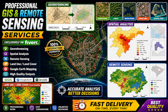
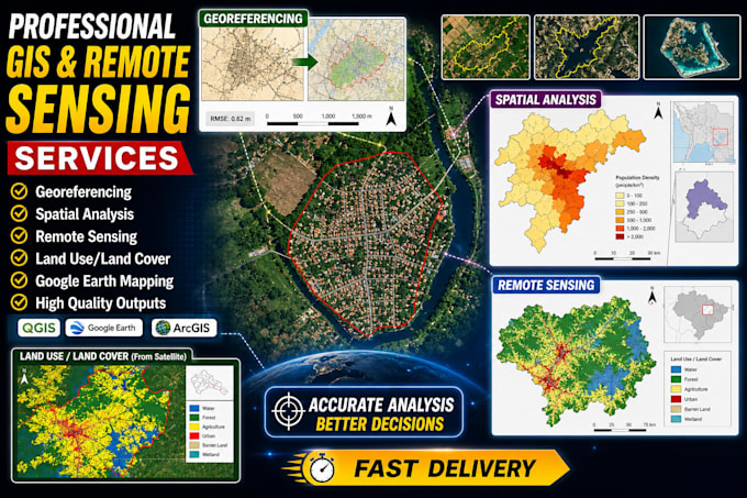
Expert in GIS, Remote Sensing ,Autocad and Machine Learning , GIS Consultant
Habilidades
Conheça meus serviços
Gis analyst
Fiverr • Freelance
Dec 2025 - Present • 7 mos
Working as a GIS and data analyst with the International Water Management Institute (IWMI), focusing on geospatial analysis, remote sensing, and data-driven environmental studies. Skilled in Google Earth Engine, ArcGIS, and Python-based spatial modeling
