a
ashanov98

Ali Shan

@ashanov98

Remote Sensing Specialist, GEE Developer, and Agronomist

Paquistão
Inglês, Urdu
Algumas informações são exibidas no idioma inglês.
Sobre mim
Transform satellite imagery & spatial data into high-precision analytics. With an MS in Remote Sensing & GIS and a BS in Agronomy, I bring 4+ years of experience delivering cloud automation & spatial data science solutions. SERVICES OFFERED: • Custom Google Earth Engine (GEE) & Python automation scripts • Satellite imagery analytics (Sentinel-2, Landsat) & time-series LULC • Precision agriculture, crop yield forecasting & vegetation health • High-res QGIS/ArcGIS Pro cartography & 3D terrain models Send a message with your Area of Interest (AOI) to get started!... Saiba mais

Habilidades

a
ashanov98
Ali Shan
offline • 

Conheça meus serviços

Sistemas de Informação Geográfica
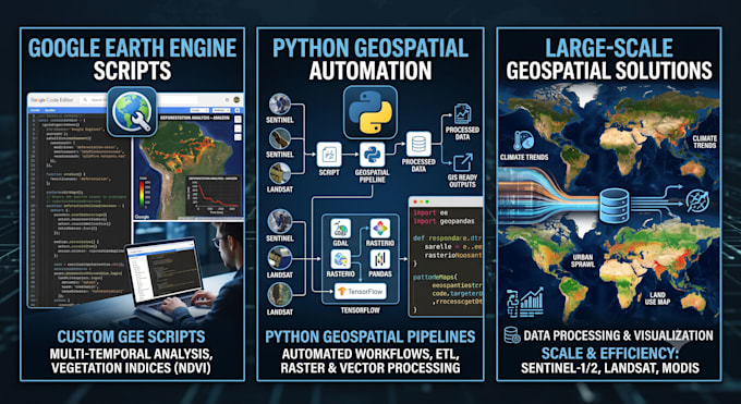
I will write gee scripts and python gis automation pipelines
Sistemas de Informação Geográfica
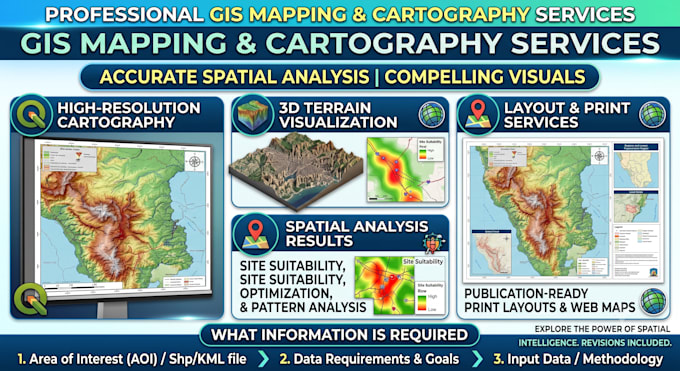
I will perform geospatial analysis, gee scripting, and gis mapping

Portfólio

Experiência profissional

Upwork

Geospatial analyst

Upwork • Freelance

Jun 2025 - Present1 yr 2 mos

Provided end-to-end geospatial intelligence, satellite remote sensing, and custom GIS solutions for global client projects. Developed automated Python and Google Earth Engine (GEE) workflows for multi-spectral imagery processing, surface modeling, and environmental analysis. Conducted advanced spatial modeling, including 3D terrain analysis, slope/aspect calculations, and hydrological risk mapping. Processed drone orthomosaics and high-resolution LiDAR dataset to generate detailed DSM/DTM surfaces and topographic outputs. Authored clean technical documentation and delivered publication-ready cartographic products.