Algumas informações são exibidas no idioma inglês.
Sobre mim
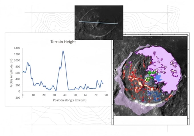
I am a Geospatial Analyst and Scientific Data Specialist with an MSc Geophysics background. I work with GIS mapping, geological mapping, remote sensing, and satellite imagery using ArcMap at a professional level. I provide data analysis and technical analysis using Python and MATLAB to clean, process, and visualize scientific datasets. I also use Microsoft Excel and Word for data management, reporting, and documentation. My strong foundation in physics and earth sciences ensures accurate interpretation, clear results, and professional outputs for every project.... Saiba mais