Algumas informações são exibidas no idioma inglês.
Sobre mim
Every landscape tells a story, I turn elevation data into maps that are accurate and visually compelling.
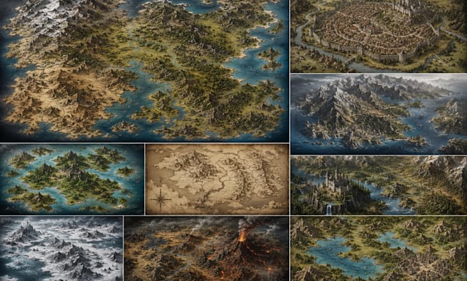
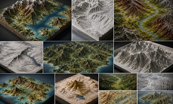
I specialize in topographic maps, contour illustrations, digital elevation models, and 3D terrain relief for engineers, planners, game designers, and outdoor brands. Using QGIS, ArcGIS, Blender, and Illustrator, I deliver professional-grade results tailored to your project.
Services include contour mapping, hillshade relief, trail maps, watershed analysis, and fictional world terrain.
Detail-oriented, responsive, and revision-friendly.
Let's map something great
Message me today!... Saiba mais