Ver categorias
Explorar
Fiverr Pro
Português
$
USD

Map Illustrator and Vector Mapping Specialist
Habilidades
Conheça meus serviços

Map Illustrator and Vector Mapping Specialist
Nigeria • Freelance
Sep 2019 - Present • 7 yrs 1 mo
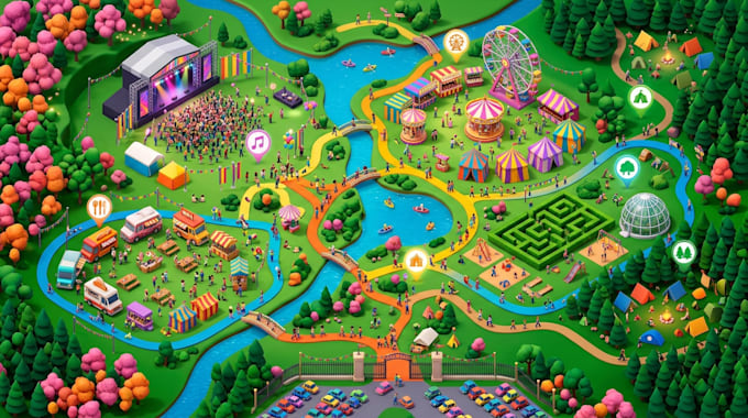
I specialize in creating detailed custom map illustrations for businesses, organizations, real estate companies, tourism agencies, event planners, educational institutions, and individual clients. My work focuses on transforming location information, sketches, reference images, and client concepts into visually engaging 2D and 3D map illustrations that communicate geographical details clearly and attractively. My experience covers city maps, neighborhood maps, tourism maps, event and festival maps, venue maps, university and church campus maps, real estate maps, property location maps, park maps, botanical garden maps, fishing maps, fantasy maps, transit maps, site illustrations, and wayfinding maps. I also create isometric maps, illustrated street maps, visitor guides, commercial location maps, and custom vector artwork for digital and print applications. Using Adobe Illustrator and vector illustration techniques, I develop map graphics with carefully arranged roads, streets, buildings, landmarks, pathways, entrances, parking areas, water features, green spaces, labels, symbols, and points of interest. I pay attention to composition, color coordination, visual hierarchy, readability, and the relationship between different map elements to ensure the final artwork is easy to understand and visually appealing. My responsibilities include reviewing project requirements, studying reference materials, planning map layouts, creating vector illustrations, organizing geographical features, selecting suitable colors and symbols, refining details, and preparing final artwork according to the intended use. I also adapt map illustrations for websites, mobile applications, brochures, presentations, marketing materials, visitor information guides, signage, and printed publications. For clients who require a more creative visual presentation, I create 3D style maps, isometric site illustrations, illustrated landscapes, and architectural location graphics that help communicate
